Google Maps Introduces Time Machine Feature That Lets You Time Travel as Far Back as 80 Years!

Travel through time with Google Maps: Explore 80 years of history and discover new places with expanded Street View!
Google Maps is taking exploration to a whole new level with its latest updates, introducing a time machine feature that allows users to travel back as far as 80 years. This exciting enhancement, coupled with the expansion of Street View to nearly 80 countries, promises to transform how we navigate and understand our surroundings.

Journey Through Time with Google Maps
In a recent blog post, Google unveiled the new time machine feature, which enables users to view historical images of their neighborhoods and cities. Some of these images date back nearly 80 years, providing a fascinating glimpse into the past. Locations like Berlin, London, Paris, and Warsaw boast imagery from as early as the 1930s, allowing users to witness the evolution of urban landscapes over decades.
Accessible through Google Earth’s web version, the historical imagery tool serves not only curious explorers but also researchers and educators who seek to study changes in geography and urbanization. With this feature, users can engage with the past in a meaningful way, whether for academic projects or personal interest.
[smartslider3 slider=”3″]
San Francisco in 1938, compared to San Francisco in 2024
Expanding Street View: Discover New Places
In addition to the time travel capability, Google Maps is significantly expanding its Street View service, which has already amassed over 280 billion images from around the world. Users can now explore nearly 80 new countries, including captivating locations such as Bosnia’s serene countryside and Namibia’s stunning deserts.
Thanks to innovative camera technology, first revealed in 2022, Google has made it easier to capture high-quality images from various vehicles. This advancement opens up new possibilities for virtual exploration in countries like Australia, Argentina, Brazil, Costa Rica, and the Philippines, enhancing the Street View experience for users everywhere.
Enhanced AI-Powered Satellite Imagery
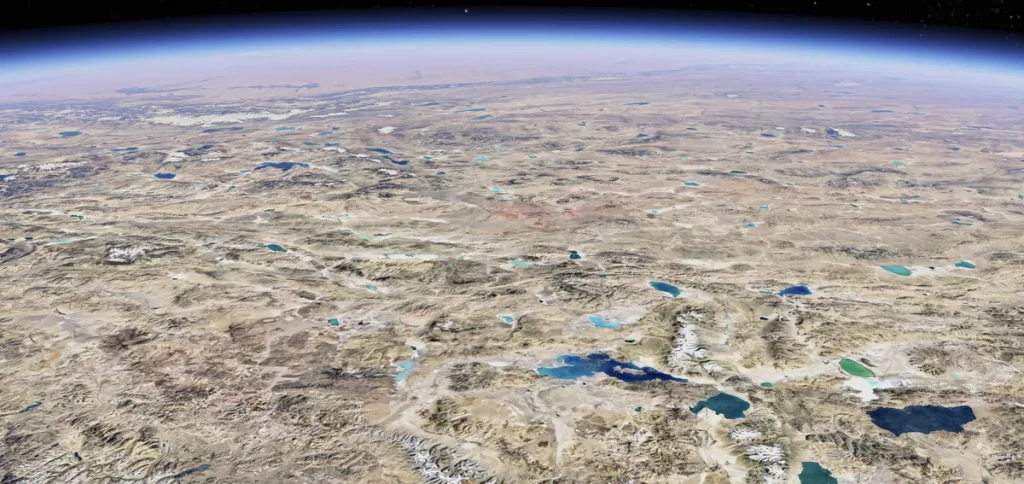
Alongside these updates, Google Maps and Earth will feature sharper satellite imagery, powered by the Cloud Score+ AI model. This advanced technology has been trained on millions of images to detect and remove distortions caused by cloud shadows, haze, and mist. As a result, users will benefit from clearer, more vibrant visuals of Earth’s landscapes.
This improvement not only enriches the user experience but also provides researchers with more accurate data for studies related to climate change, urban planning, and conservation efforts. Expect to see these enhanced visuals rolling out this week.
Google Maps’ Commitment to Innovation
Google continues to prioritize user needs with innovative updates for its Maps and Earth platforms. Earlier this year, new navigation features were introduced, helping users in select Indian cities locate EV charging stations and book metro tickets seamlessly. In July, Google launched wildfire alerts that utilize satellite data and AI to inform users about the range and intensity of wildfires, promoting safety during emergencies.
With ongoing enhancements in AI, users can look forward to more personalized experiences in Google Maps, including automated suggestions and improved search functionalities.
Conclusion
With the introduction of the time machine feature and the expansion of Street View, Google Maps is redefining how we interact with the world around us. The ability to explore historical imagery from the past 80 years, coupled with the opportunity to discover new locations through enhanced Street View, highlights Google’s dedication to enriching user experiences. Whether for navigation, research, or sheer curiosity, Google Maps continues to set the standard for digital exploration.


